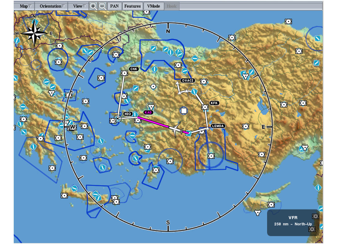
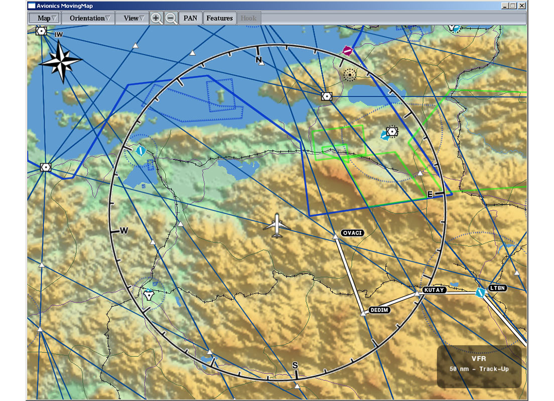
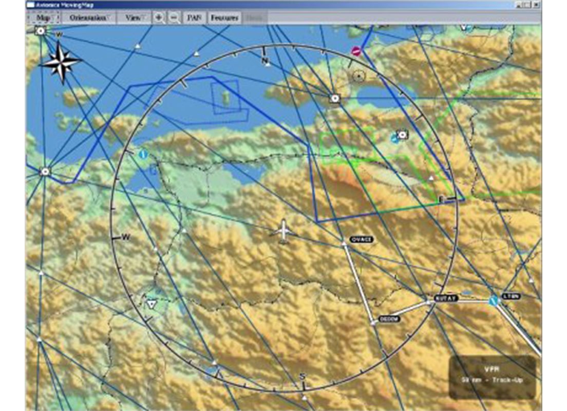
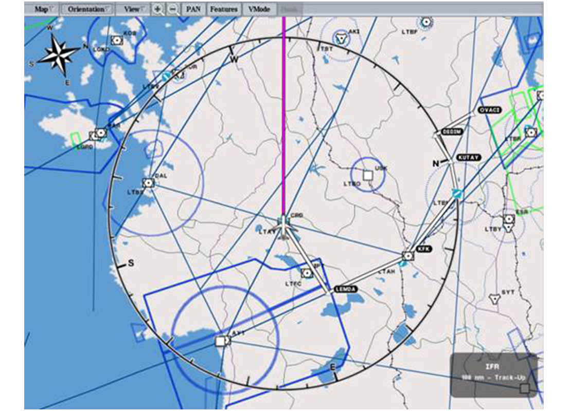
Digital Moving Map
Our Digital Moving Map software aims to improve situational awareness by providing digital imaging technologies for aerial platforms. With the digital moving map, pilots gain safety and situational awareness that they cannot access with standard cockpit equipment.
Standards
- The software has been developed in accordance with the DO-178 B/C standard
- Navigation information is displayed in accordance with DO-257A compliant minimum operating performance standards
- The symbols comply with MIL-STD-2525 and APP6 standards
- Navigation data complies with ARINC-424 and DAFIF standards.
Features
- Display modes for visual flight (VFR) and instrument flight (IFR)
- Flight plan that uses navigation aids and can be edited during the flight
- Vertical sectional display with terrain, navigation aids and flight plan
- 2D and 3D imaging
- Orientations North Up, Head Up, Trail Up, DTK Up